  |
Pakistan MapsBaltoro Glacier Region |
  |
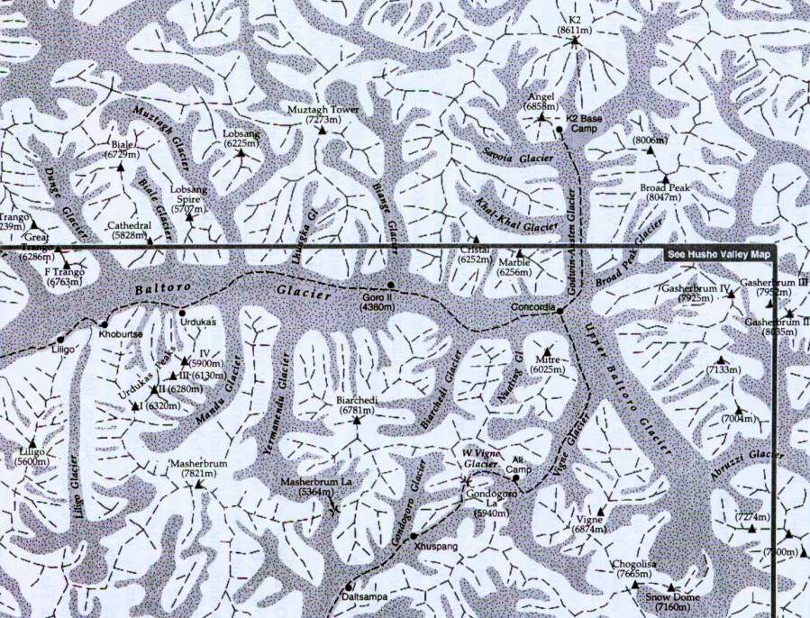
Map of the Baltoro Glacier Region of the Pakistan Karakoram The
Baltoro Glacier ( some 62km in length ) is one of the longest glaciers outside the polar regions. It lies in the Gilgit-Baltistan region of Pakistan and runs through part of the Karakoram mountain range.
The Baltoro Muztagh lies to the north and east of the glacier, while the Masherbrum Mountains lie to the south. K2 is the highest mountain in the region and three other 8,000ers are within 20km.. The
Baltoro Glacier gives rise to the Shigar River - a tributary of the Indus River.
Several large tributary glaciers feed the main Baltoro glacier, including the Godwin Austen Glacier, flowing south from K2;
the Abruzzi and the various Gasherbrum Glaciers, flowing from the Gasherbrum group of peaks; the Vigne Glacier, flowing from Chogolisa, and the Yermandendu Glacier, flowing from Masherbrum.
The confluence of the main Baltoro Glacier with the Godwin Austen Glacier is known as Concordia. Concordia and K2 base camp are popular trekking destinations. |
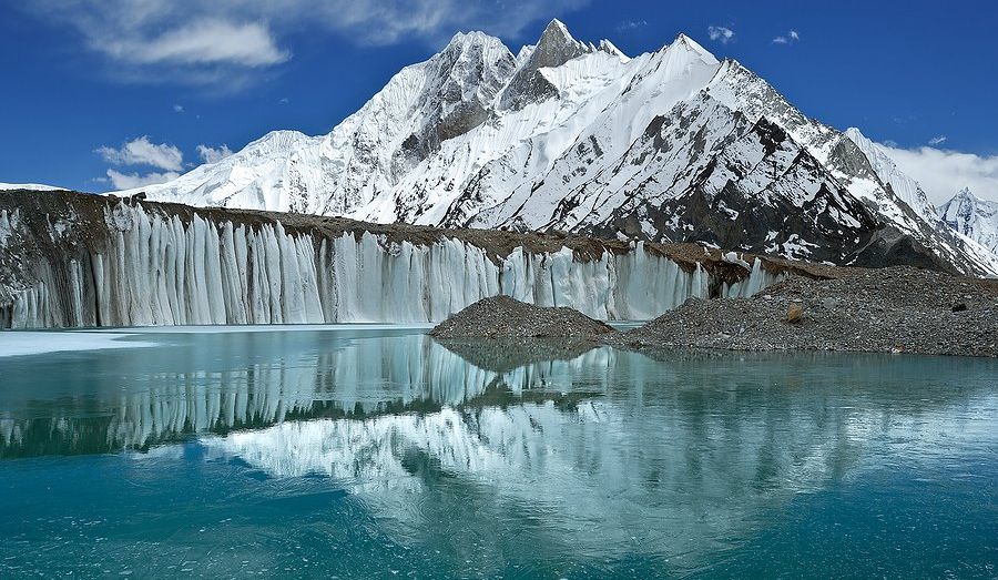
Baltoro Glacier in the Pakistan Karakoram |
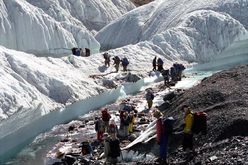
Trekking group on the Baltoro Glacier in the Pakistan Karakoram |
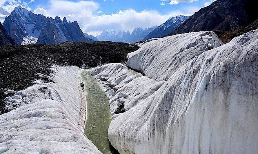
Baltoro Glacier in the Pakistan Karakoram |
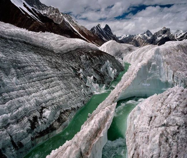
Baltoro Glacier in the Pakistan Karakoram |
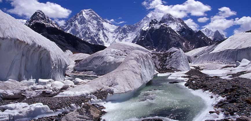
Baltoro Glacier in the Pakistan Karakoram |
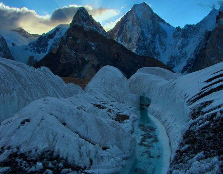
Baltoro Glacier in the Pakistan Karakoram |
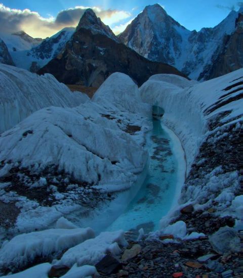
Baltoro Glacier in the Pakistan Karakoram |
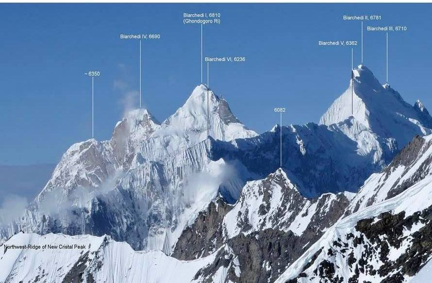
Biarchedi Group above the Baltoro Glacier in the Pakistan Karakoram |
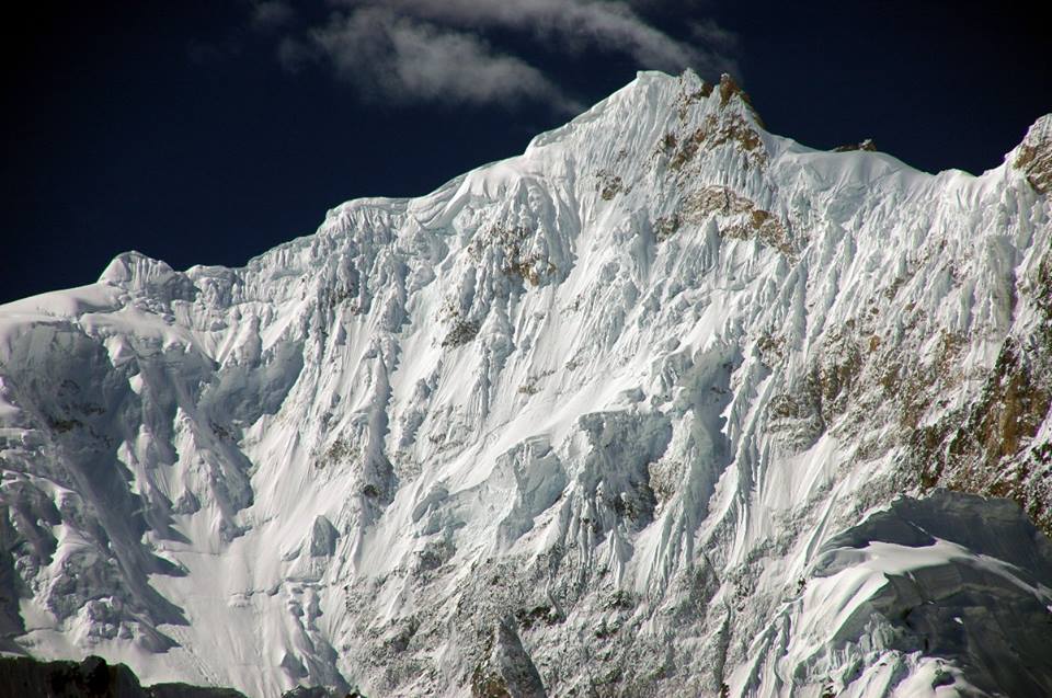
Biarchedi Peak above
the Baltoro Glacier in the Pakistan Karakoram |
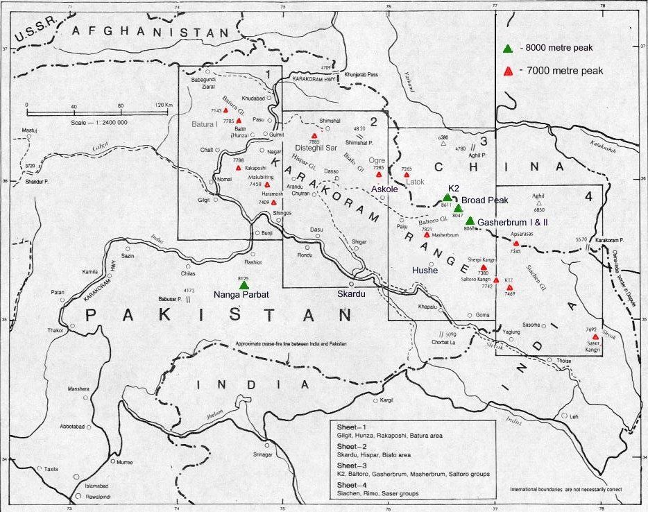
Location map of the 7000m and 8000m peaks of the Pakistan Karakoram |
Skardu Skardu ( along with Gilgit ) is one of the major hubs for treks and expeditions to the Pakistan Karakoram. |
Worldwide Mountaineering :: Adventure Travel :: Site Index
