  |
The Scottish HighlandsSUILVEN & CANISP
|
  |

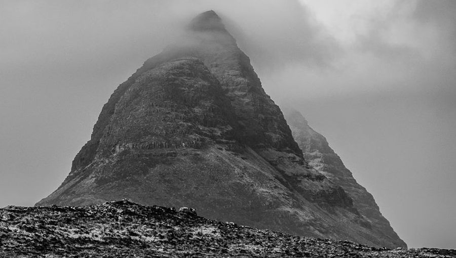
Suilven |
Suilven |

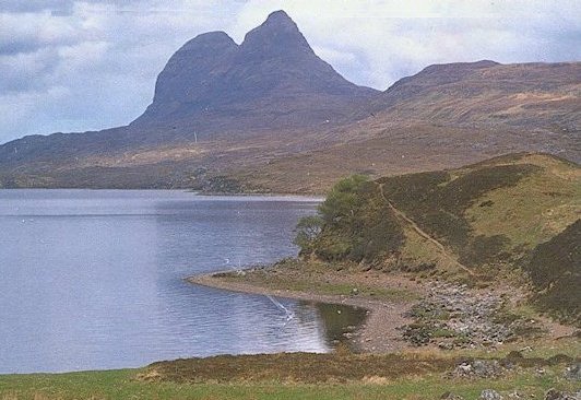
Suilven above Loch na Gainimh |

Suilven above Loch Veyatie from Cul Mor |

Suilven |

Suilven |

Suilven |

Suilven |

Canisp and Suilven |

Suilven |

Suilven |

Suilven |

Suilven |
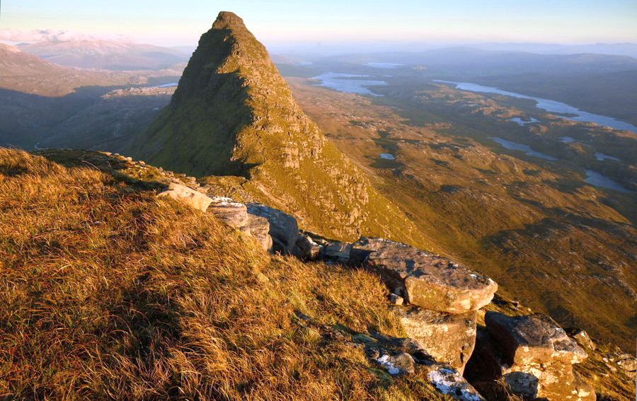
Canisp from Suilven |

Canisp ( 847m, 2,779ft ) Canip is a Corbett.
Its name translates from Old Norse as "White Mountain" |

Map of Suilven and Canisp |

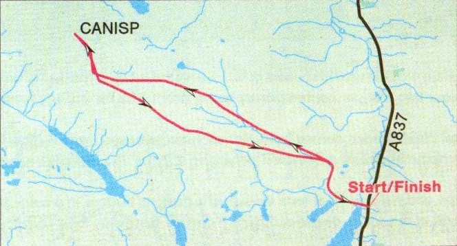
Route map for Canisp |
CANISP - ROUTE DESCRIPTION:-
Location: Sutherland
Map: OS Landranger 15
Distance: 8 miles ( 13km )
Tim-0: 5-6 hours
Grade: Moderate hill walk
A Scottish Mountaineering Club guidebook of the 1930s describes the 2,779ft ( 846m ) Canisp as “uninteresting” and then relents
slightly by suggesting: “As it is in the midst of so many striking and shapely hills it forms a fine viewpoint."
It’s exactly because it is such a fine viewpoint that Canisp is anything but uninteresting.
The ascent is simplicity itself — from the head of Loch Awe on the A837 Ullapool to Durness road the hill rises
in a slightly curving ramp to a summit whose slopes fall precipitously on three sides.
It's a steady pull from the road, initially over swampy, grassy ground then over drier, shattered screes and
slabs of Lewisian gneiss. Keep well to the left of the ridge and enjoy the drama of the Inverpollaidh landscape
as it unfolds below you. As this low-lying landscape begins to open up its topography becomes more
and more astonishing. The bumps and hillocks and ridges are underscored and pock-marked by dozens of pools
and lochans, and several long and linear lochs, angled in exact parallels, slash across the landscape.
On the far edge of this wilderness the spired peaks of Cul Mor dominate the primeval outline of Stac Pollaidh
and as you get higher the fortress-like shape of Suilven dramatically appears out of the west, rising from the shores
of Loch na Gainimh to a series of castellated turrets and spires.
As you climb over the bump of Meall Diamhain and on to the final summit slopes your eyes are led
beyond Suilven and the immediate coastline to the distant Trotternish ridge of Skye and away to the blue
hills of Harris. Further north, beyond the mass of peaks and ridge that is Quinag, lies the conical outline of Ben
Stack and the ridge of Arkle. To the east lies Conival and Ben More Assynt.
Just beyond the summit cairn of Canisp is a stone shelter - undoubtedly one of the finest
viewpoints in Scotland.
Route: Start and finish at GR: NC250159. park carefully at the side of the road.
At the N end of Loch Awe a footbridge crosses the outflow and a wet and sketchy path runs W past Loch na Gruagaich.
You'll soon lose the path on the stony slopes so follow the line of the Allt Mhic Mhurchaidh Gheir and continue in a NW direction to gain the E ridge and Meail Diarnhain.
Descend to a slight col and continue NW to gain the main summit ridge.
Descend to the S for a short distance then follow the hill's SE ridge back to the start.
This descent route offers the best views of Suilven.
Glencoe | Knoydart | Isle of Skye | Isle of Arran | The West Highland Way
The Eastern Highlands | The Central Highlands | The Southern Highlands | The NW Highlands